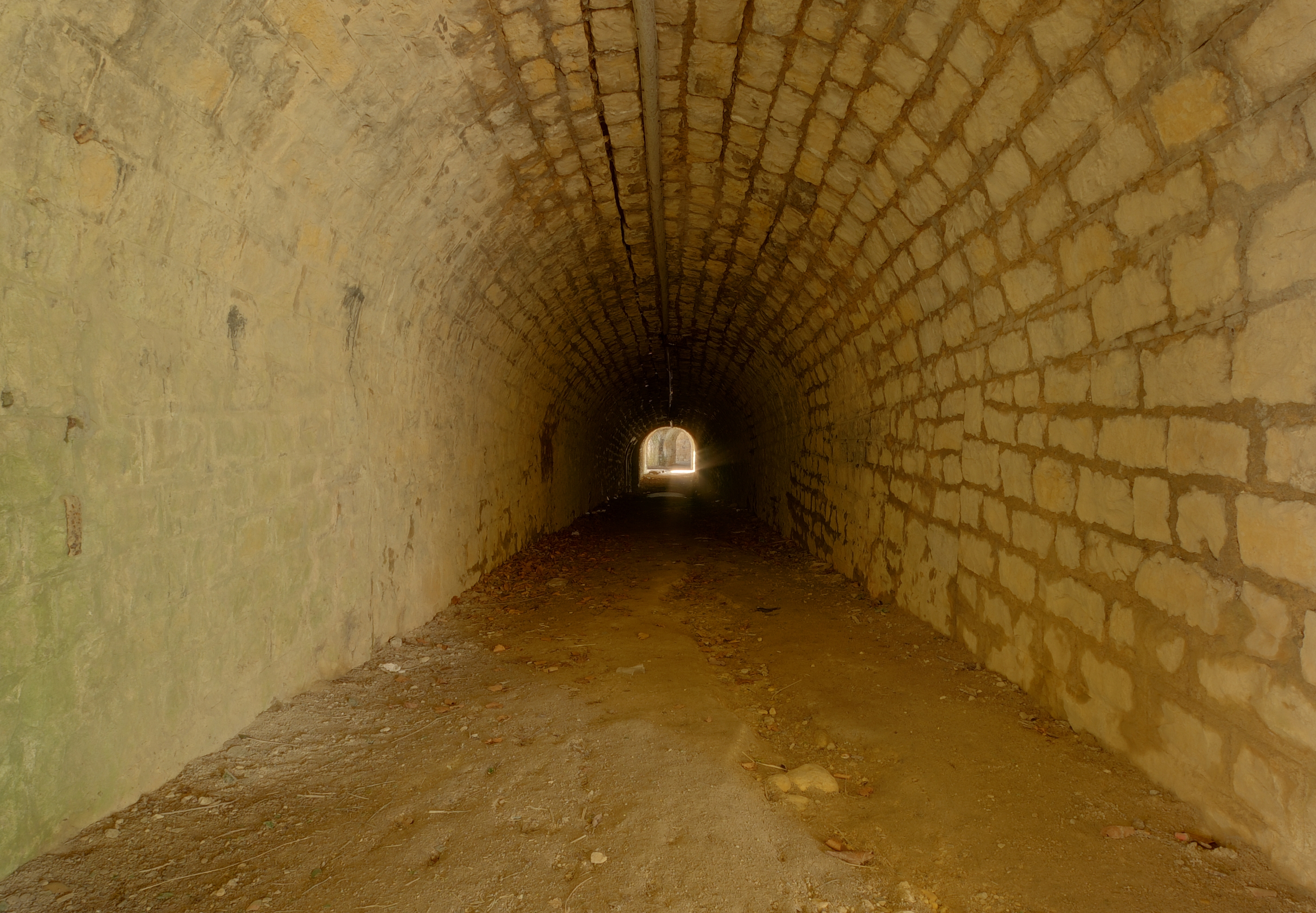
2011-03-24-f-lachaux-2.jpg
From Warlike
Size of this preview: 800 × 555 pixels. Other resolutions: 320 × 222 pixels | 640 × 444 pixels | 1,024 × 711 pixels | 1,280 × 888 pixels | 2,839 × 1,970 pixels.
Original file (2,839 × 1,970 pixels, file size: 5.21 MB, MIME type: image/jpeg)
Summary
| Description |
|
||||||||||||||||||||||
| Date | |||||||||||||||||||||||
| Source | Own work | ||||||||||||||||||||||
| Author |
|
||||||||||||||||||||||

| Camera location | | View this and other nearby images on: OpenStreetMap |
|---|
Licensing
This file is licensed under the Creative Commons Attribution 3.0 Unported licence.
- You are free:
- to share – to copy, distribute and transmit the work
- to remix – to adapt the work
- Under the following conditions:
- attribution – You must give appropriate credit, provide a link to the licence, and indicate if changes were made. You may do so in any reasonable manner, but not in any way that suggests the licensor endorses you or your use.
This image has been assessed using the Quality image guidelines and is considered a Quality image.
|
File history
Click on a date/time to view the file as it appeared at that time.
| Date/Time | Thumbnail | Dimensions | User | Comment | |
|---|---|---|---|---|---|
| current | 18:57, 25 March 2011 | | 2,839 × 1,970 (5.21 MB) | wikimediacommons>ComputerHotline |
File usage
There are no pages that use this file.